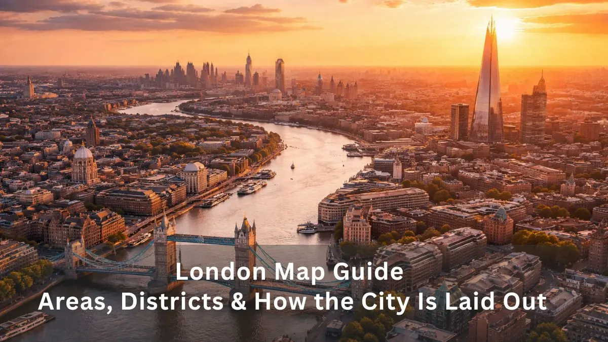
A London map helps you do four things: see where places are, plan journeys, understand which area is which, and avoid paying too much for travel. The right map depends on what you need. This guide gives you a live interactive map first, then the official transport maps, then simple guides to Central London, the boroughs, fare zones and printable downloads.
Quick answer: which London map should you use?
- Live directions and street view: use the interactive map below (Google Maps).
- Tube, Overground, Elizabeth line and DLR: use the official TfL maps.
- Sightseeing: see the Central London map and the attractions chart.
- Understanding fares: read the London zones section.
- Offline use: go to the printable maps section.
How to Use This London Map
The map below works on phones, tablets and computers. You do not need to sign in to use it.
- Zoom: pinch with two fingers on a phone, or use the + and – buttons on a computer.
- Search: click the search box on the map and type a place, station or postcode.
- Change the view: use the layer button to switch between map, satellite and transit.
- Get directions: choose “Directions”, then pick walking, public transport or cycling.
Interactive London Map
Interactive map: Google Maps. Use the transit layer to see Tube and rail routes.
For live Tube and rail delays, check TfL before you travel. Google Maps is excellent for door-to-door routes, but TfL has the latest service updates and step-free information.
London Map at a Glance: Key Facts
London is built around the River Thames, which flows west to east through the middle of the city. Londoners often say an area is “north of the river” or “south of the river”. Because the city grew over centuries, streets are irregular and there is no neat grid.
| Fact | Figure | Source and year |
| Area of Greater London | 1,572 square kilometres | ONS / GLA |
| Population | 8,799,800 | Census 2021 |
| Local authority areas | 32 boroughs plus the City of London | ONS |
| Population density | About 5,600 people per square kilometre | Census 2021 |
| Underground lines | 11 | TfL |
| Overground lines | 6 (all named) | TfL |
| Fare zones | 1 to 9 | TfL |
Population density: inner London is more than twice as crowded as outer London
People per square kilometre. Source: ONS / London Datastore, Census 2021.
Central London Map and Main Areas
Central London is not an official region. It usually means the busy area around the Thames, mostly in Zone 1, where most landmarks, theatres and museums are found. Most first-time visitors spend nearly all their time here. Our London sightseeing guide explains how to combine these areas into a day plan.
| Area | Main sights | Nearest stations |
| Westminster | Big Ben, Houses of Parliament, Westminster Abbey, Buckingham Palace | Westminster, St James’s Park, Victoria |
| City of London | St Paul’s Cathedral, Sky Garden, Bank of England area | St Paul’s, Bank, Monument |
| Soho and Covent Garden | Theatres, Leicester Square, Royal Opera House, shops and restaurants | Covent Garden, Leicester Square, Piccadilly Circus |
| South Bank and Bankside | London Eye, Tate Modern, Shakespeare’s Globe, Borough Market | Waterloo, Southwark, London Bridge |
| Kensington and Chelsea | Natural History Museum, Science Museum, V&A, Harrods | South Kensington, Knightsbridge |
| Tower Bridge area | Tower Bridge, Tower of London | Tower Hill, London Bridge |
Other central areas worth knowing are Marylebone and Fitzrovia (boutique shops and quieter streets), Mayfair (upmarket shopping), Bloomsbury (the British Museum and universities) and King’s Cross (a major rail hub with Eurostar and trains to Scotland).
Many of the best sights are close together. If you only have a short stay, start with the best things to do in London and pick one or two areas per day.
London Boroughs Map: 32 Boroughs and the City of London
Greater London has 32 boroughs plus the City of London, so 33 local authority areas in total. Each borough has its own council that looks after local services such as schools, housing and bin collections. The Mayor of London and the Greater London Authority handle city-wide matters like transport and planning.
The City of London is the small historic “Square Mile”. It is not one of the 32 boroughs. Westminster, which holds Parliament and Buckingham Palace, is a separate borough next door.
| Part of London | Boroughs |
| Central | Camden, Islington, Westminster (plus the City of London) |
| North | Barnet, Enfield, Haringey, Waltham Forest |
| East | Barking and Dagenham, Hackney, Havering, Newham, Redbridge, Tower Hamlets |
| South | Bexley, Bromley, Croydon, Greenwich, Kingston upon Thames, Lambeth, Lewisham, Merton, Southwark, Sutton, Wandsworth |
| West | Brent, Ealing, Hammersmith and Fulham, Harrow, Hillingdon, Hounslow, Kensington and Chelsea, Richmond upon Thames |
This grouping is a simple guide. Borough boundaries do not follow compass directions exactly.
Resident population of selected London boroughs
Source: ONS / London Datastore, Census 2021 (selected boroughs only).
London Neighbourhoods Map: Popular Areas to Explore
Neighbourhoods are the areas people actually talk about. They do not match borough lines, so one neighbourhood can sit across two boroughs. The table shows the borough, nearest station and zone for each popular area. Station zones can change, so check the exact station on the TfL website before booking a hotel.
| Neighbourhood | Borough | Nearest station | Zone | Known for |
| Camden | Camden | Camden Town | 2 | Markets, live music, Regent’s Canal |
| Shoreditch | Hackney | Shoreditch High Street | 1–2 | Street art, nightlife, vintage shops |
| Notting Hill | Kensington and Chelsea | Notting Hill Gate | 1–2 | Portobello Road Market, colourful houses, Carnival |
| Greenwich | Greenwich | Cutty Sark (DLR) | 2–3 | Royal Observatory, Cutty Sark, Prime Meridian |
| Canary Wharf | Tower Hamlets | Canary Wharf | 2 | Skyscrapers, offices, shopping |
| Richmond | Richmond upon Thames | Richmond | 4 | Richmond Park, riverside walks |
| Hampstead | Camden | Hampstead | 2–3 | Hampstead Heath, leafy village feel |
| Brixton | Lambeth | Brixton | 2 | Food markets, music, Caribbean heritage |
| Stratford | Newham | Stratford | 2–3 | Queen Elizabeth Olympic Park, big transport hub |
| Wembley | Brent | Wembley Park | 4 | Wembley Stadium and arena events |
If you want quieter places away from the crowds, our guide to hidden gems in London covers lesser-known streets, gardens and viewpoints.
London Tube, Overground and Rail Map
The best map for trains is the official TfL map. It is updated regularly and shows the Tube, DLR, Elizabeth line and trams. You can download the official Tube map from TfL or browse all TfL maps, including bus and river services. We link to it rather than copy it, because TfL owns the copyright on its map design.
One thing to know: the Tube map is a diagram, not a geographical map. It shows the order of stations and where lines connect, but distances are not to scale. Two stations that look far apart can be a short walk.
The 11 Underground Lines
Bakerloo, Central, Circle, District, Hammersmith and City, Jubilee, Metropolitan, Northern, Piccadilly, Victoria, and Waterloo and City.
Other Rail and Transport Services
| Service | What it does | Useful for |
| Elizabeth line | Fast east–west line across Central London, also serving Heathrow | Heathrow, Paddington, Canary Wharf |
| London Overground | Six named lines: Lioness, Mildmay, Suffragette, Liberty, Windrush and Weaver | Travelling around outer areas without going through Zone 1 |
| DLR | Driverless trains in east and south-east London | Canary Wharf, Greenwich, City Airport |
| Trams | Routes in south London, including Croydon | South London journeys |
| Buses | Red buses across the whole city | Cheap sightseeing and short trips |
| River bus | Thames boat services between piers | Seeing the city from the water |
Flying in or out? The London airports guide shows which airport links to which line, and our London airport comparison helps you choose between them.
London Transport Zones Explained (Zones 1 to 9)
London’s fare zones are rings that spread out from the centre. Zone 1 is the middle, and the number goes up as you move outwards. The more zones your journey crosses, the more it costs. Most visitor attractions are in Zones 1 and 2.
| Zone | What it covers | Example places |
| Zone 1 | Central London | Westminster, Soho, South Bank, the City |
| Zone 2 | Inner London | Camden Town, Brixton, Canary Wharf |
| Zone 3 | Outer edge of inner areas | Greenwich (partly), Crystal Palace |
| Zones 4–6 | Greater London and airport links | Richmond, Wembley Park, Heathrow (Zone 6) |
| Zones 7–9 | Outer areas and commuter towns | Edge of Greater London and beyond |
Which Zones Are Best for Tourists?
Zones 1 and 2 suit most first-time visitors. You can walk between many sights, and Tube journeys are short. Staying in Zone 3 or 4 can save money on hotels, but you will spend more time travelling. If you are staying near the airport, see our guide to hotels near Heathrow Airport.
Fares and Daily Caps (2026)
Use a contactless bank card, phone or Oyster card and just tap in and out. You do not need a paper ticket. A daily cap means you stop paying once you reach a set limit. Use the same card or device all day so your journeys are added together.
Adult daily fare caps with contactless or Oyster (pay as you go)
Source: TfL fare capping, 2026. Fares change, so check TfL before you travel.
- A single bus or tram journey costs £1.75.
- Peak fares apply Monday to Friday, 06:30–09:30 and 16:00–19:00, excluding public holidays.
- On Tube, rail and DLR, tap in and out. On buses and trams, you only tap in.
- Heathrow journeys are charged differently from normal zone fares, so check the TfL fares page first.
London Tourist Attractions Map
These are the ten most visited attractions in the ALVA 2025 figures from this list. Seven of them offer free general admission, though special exhibitions may charge. Most sit along or near the Thames, or in the museum district of South Kensington.
Most visited London attractions, 2025 (millions of visits)
Free general admission Mixed free and paid Paid entry
Source: ALVA 2025 visitor figures. Admission type follows ALVA’s coding; confirm with each attraction.
Where visits go: share of the top ten attractions’ 39.7 million visits
79.7% free general admission
13.3% mixed free and paid
7.1% paid entry (Tower of London)
Source: calculated from ALVA 2025 figures above.
Free entry makes London much cheaper than many visitors expect. For more ideas, see our list of free things to do in London and the best museums in London.
Landmarks, Shopping and Green Spaces
| Type | Examples |
| Famous landmarks | Big Ben, Buckingham Palace, Tower Bridge, London Eye, Tower of London |
| Shopping | Oxford Street, Regent Street, Covent Garden, Harrods, Camden Market |
| Parks | Hyde Park, Regent’s Park, St James’s Park, Greenwich Park, Richmond Park |
Parks are a good break between busy sights. Our guide to the best parks in London shows which ones are closest to the main tourist areas.
Where to Stay in London: Map of the Best Areas
Choose your base by what you plan to do and which stations are nearby. A hotel next to a Tube station on a direct line to your main sights is worth more than a cheaper room that needs two changes.
| Area | Best for | Zone | Trade-off |
| Westminster | First-time visitors, landmarks | 1 | Busy and often expensive |
| Covent Garden and Soho | Theatre, food, nightlife | 1 | Noisy at night |
| South Bank | Families, riverside walks | 1 | Crowded at weekends |
| Kensington | Museums, parks, upmarket stays | 1–2 | Higher prices |
| Camden | Music, markets, alternative culture | 2 | Very busy on weekends |
| Shoreditch | Nightlife, street food, creative scene | 1–2 | Lively late into the night |
| Greenwich | History, parks, calmer evenings | 2–3 | Longer trips to the West End |
| Canary Wharf | Business travellers | 2 | Quiet at weekends |
| Richmond | Nature, relaxation | 4 | Far from the centre |
Check the zone of your exact station on TfL before you book, because some areas sit on a zone boundary.
Walking Map of Central London: Distances Between Attractions
In Zone 1, walking is often as quick as the Tube, once you allow for stairs, escalators and waiting. The times below are approximate for a normal walking pace. Use Google Maps or the TfL Journey Planner for an exact route on the day.
| Walk | Approximate time |
| Leicester Square to Covent Garden | 5 minutes |
| Tower Bridge to Tower of London | 5–10 minutes |
| British Museum to Covent Garden | 10–15 minutes |
| London Eye to Westminster Abbey | About 15 minutes |
| Big Ben to Buckingham Palace | About 15–20 minutes |
A good free route is along the South Bank, from the London Eye past Tate Modern and Shakespeare’s Globe to Tower Bridge. The Thames Path follows the river for much of this stretch. Wear comfortable shoes, and cross at pedestrian crossings, as traffic drives on the left.
Accessible London Map: Step-Free Stations and Facilities
Not every Tube station has step-free access, because many are over a century old. Step-free means you can get from the street to the platform without stairs, using lifts or ramps. Some stations are step-free to the platform but have a gap between the train and platform, so TfL’s map shows this too.
- Download the step-free Tube map from the TfL maps page before you travel.
- Check lift status on the day, as lifts can be out of service.
- The Elizabeth line, DLR and trams are designed with level access. Buses have ramps and a wheelchair space.
- Parents with pushchairs can use the same step-free routes.
London Postcode Map: Understanding London Postcodes
London postcodes begin with letters that show the direction from the centre. They do not match borough boundaries, so a borough can contain several postcode areas. The first letters help you place an address quickly.
| Postcode area | Direction | Example areas |
| EC | East Central | The City |
| WC | West Central | Holborn, Bloomsbury, Covent Garden |
| N | North | Islington, Highgate |
| NW | North-west | Camden, Hampstead |
| E | East | Shoreditch, Stratford |
| SE | South-east | Greenwich, Southwark |
| SW | South-west | Chelsea, Wandsworth |
| W | West | Notting Hill, Ealing |
Printable London Map and Free PDF Downloads
The safest printable maps are the official ones. TfL and Visit London offer free PDFs for personal use, including the Tube, Overground, Elizabeth line, bus and step-free maps. Visit the Visit London website and search for “free London travel maps”, or use the TfL Tube map PDF directly.
| Map you need | Where to get it |
| Tube, DLR, Elizabeth line and trams | TfL maps page (PDF) |
| Overground map | TfL maps page (PDF) |
| Bus and river maps | TfL maps page |
| Step-free Tube map | TfL maps page |
| Tourist and area maps | Visit London |
| Street map for offline use | Google Maps (download offline area) |
To print: open the PDF, choose Print, select A4 and tick “Fit to page”. To use offline on your phone: in Google Maps, search for London, tap the place name, then choose “Download offline map”.
Practical Tips for Using a London Map
- Check TfL for delays before you leave. Weekend engineering works often close lines.
- Keep one payment card or phone for all journeys so daily caps work properly.
- Walk short Zone 1 trips instead of changing lines.
- Download an offline map in case your signal drops underground or in a crowded area.
- Check the step-free map if you have luggage, a pushchair or a mobility need.
For a wider plan that fits your map to actual days out, our London guide and the places to visit in London list are good next steps.
Conclusion
There is no single London map for everything. Use Google Maps for live directions, the official TfL map for trains, and a borough or zone guide to understand how the city fits together. Stay in Zones 1 or 2 if it is your first visit, tap in with one contactless card, and walk the short central routes. Once you know the river, the zones and a few key areas, London becomes much easier to read.
FAQs
1. Where can I find an interactive London map?
Use the map near the top of this page. It is powered by Google Maps and gives live directions, street view and a transit layer. TfL also has interactive station and stop search tools.
2. How many boroughs are there in London?
There are 32 London boroughs plus the City of London, which makes 33 local authority areas.
3. What are the main zones on a London map?
Fare zones run from 1 to 9. Zone 1 is Central London, and the numbers rise as you move outwards. Most tourist sights are in Zones 1 and 2.
4. Which zone is Central London?
Central London is mostly in Zone 1.
5. Is the London Underground map to scale?
No. It is a diagram that shows how stations connect, not real distances. Some stations that look far apart are a short walk away.
6. Where can I download a free printable London map?
TfL and Visit London both offer free PDF maps for personal use. See the printable maps section above for links.
7. Which London map shows all Tube stations?
The official TfL Standard Tube Map shows all Tube stations, plus the DLR, Elizabeth line and trams.
8. Can I use Google Maps to travel around London?
Yes. It shows walking, bus, Tube and rail routes. Check TfL for planned closures, as Google Maps may not show every change.
9. Which part of London is best for tourists?
Westminster, Covent Garden, Soho and the South Bank suit most first-time visitors because they have the most famous sights close together.
10. Can I use a London map offline?
Yes. Download an offline area in Google Maps, or save the official TfL PDF maps to your phone.
Author Bio
The London Report Editorial Team creates expert guides about London’s neighbourhoods, travel information, culture and history to help readers explore and understand the UK’s capital city.
Disclaimer
Information in this guide is based on general geographic and administrative data about London, including figures from TfL, ONS, the London Datastore and ALVA. Fares, zones, boundaries, opening details and transport services can change, so always check official sources before you travel.